CONTEXT MAP

Jumpstart your Design Project

Get Started!

Image

ENRICH YOUR DESIGN WITH REAL-WORLD CONTEXT

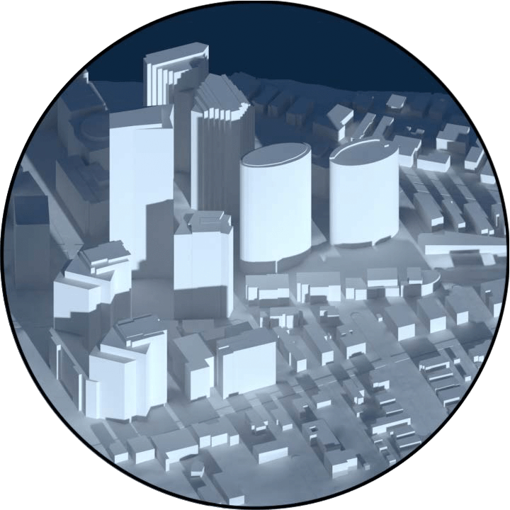
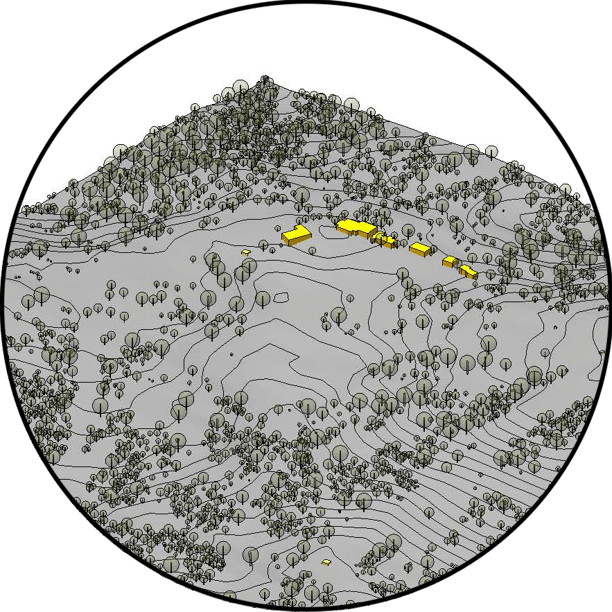
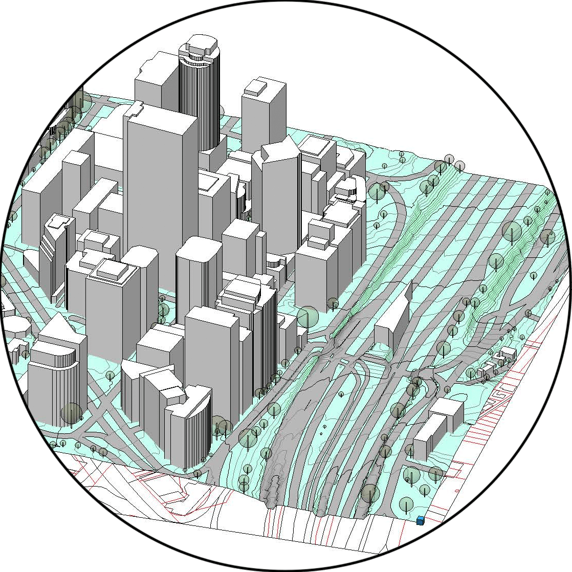
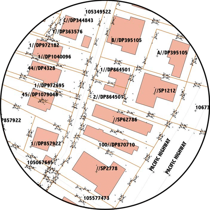
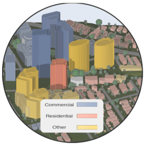
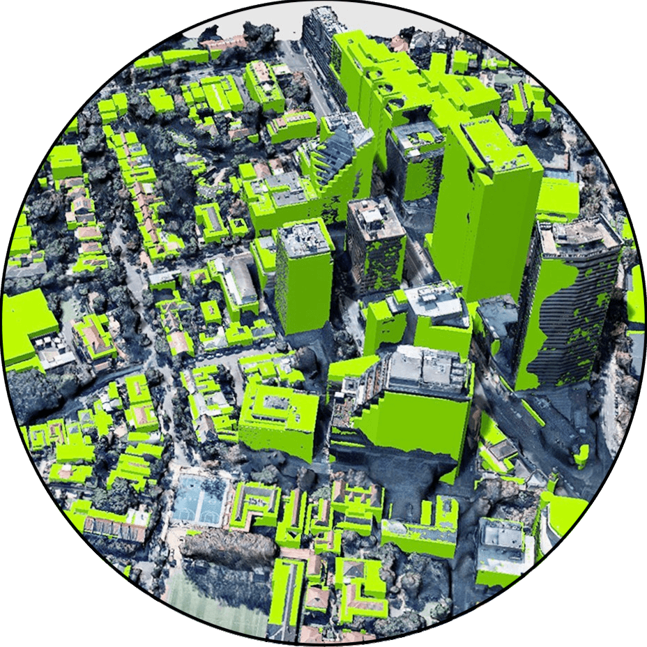
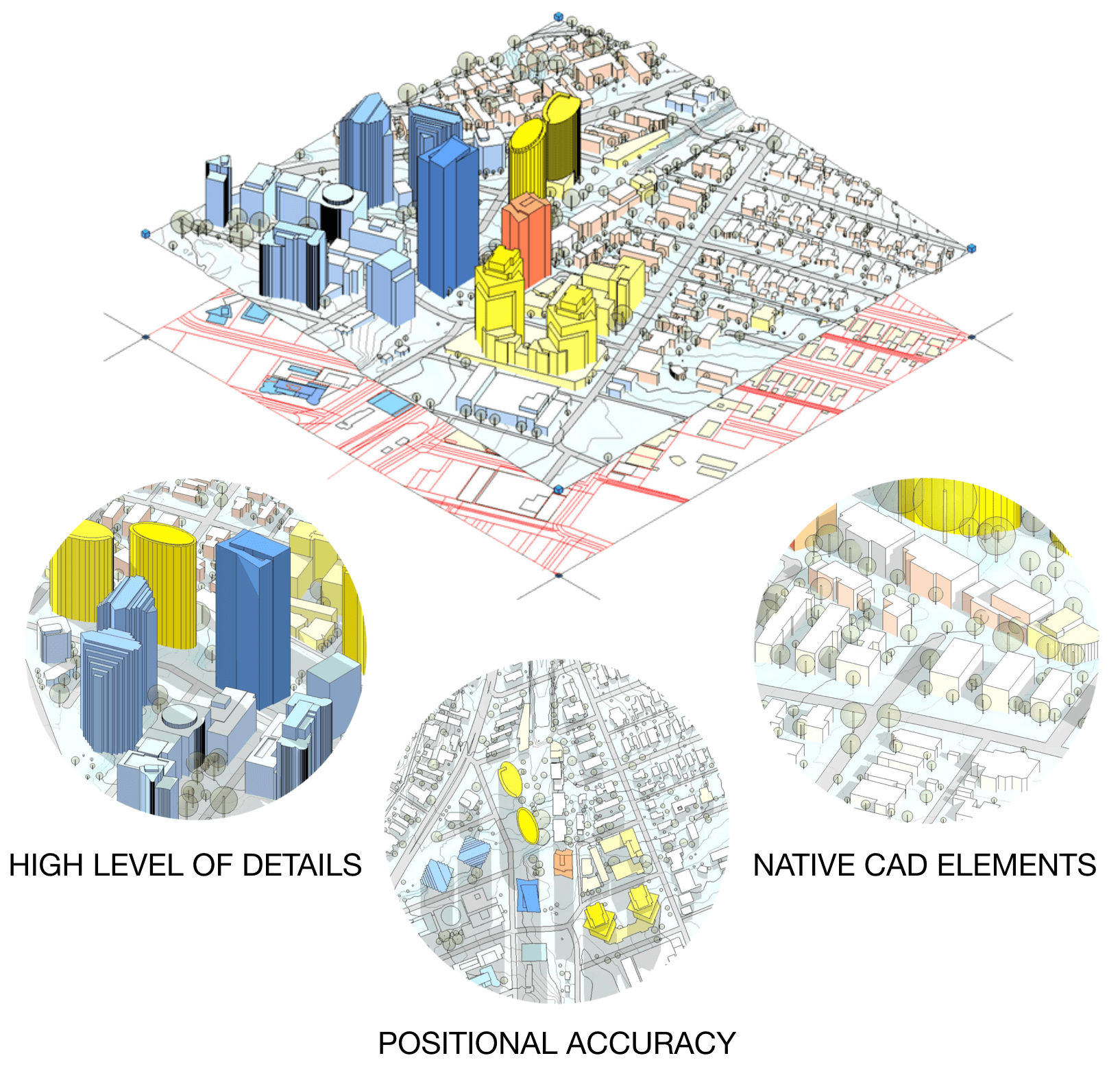
Context Map is a revolutionary new tool for Architects and Urban Planners to jumpstart their project work with a suite of geospatial 3D CAD data - providing all real world information about a new site location directly into your favourite design platform.

Every Context Map is generated for a customisable location and extent – readily available for most urban areas in Australia!

  • Current & Contextual
  • Real World 3D Features
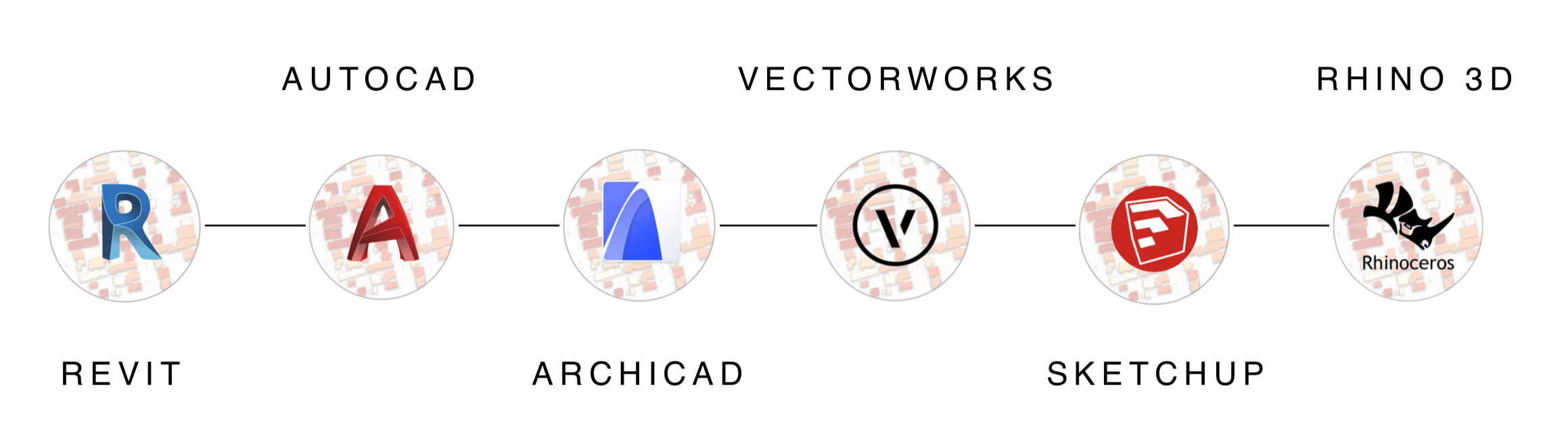
  • Georeferenced and Native CAD Format

How It Works

1

Select Site and Make Order

Context Maps are available for most urban areas in Australia. Select a site or interactively draw your area and make an order. Our service team is available to support you with your selection.

  • Select Site and Custom Area Size
  • Choose CAD Format
  • Instant Quote Generation
2

Context Map Modeling

Our Context Map Engine processes dozens of data layers from high resolution aerial to LiDAR imaging to ensure you get the latest data availabe. All features are geopatially aligned and fused into one native CAD bundle.

  • Geospatial Data Fusion and Processing
  • Real World 3D Modeling
  • Native CAD Generation
3

Delivery

Before any context map is finalised, it will go through multiple quality checks that ensure all features are accurate and to the highest standard. Your context map is available for download typically 1-2 business days after ordered.

  • QA included
  • Delivered within 1-2 business days
  • Download CAD Model Package

Real World Features

Image

BUILDINGS

  • Footprints
  • Heights
  • Multi-Structure
Image

VEGETATION

  • Tree Positions
  • Tree Heights
  • Crown Widths
Image

TERRAIN & TOPOGRAPHY

  • Terrain Elevations
  • Roads
  • Hydro
Image

CADASTRAL

  • Property Boundaries
  • Lot Titles
  • Measurements
Image

ZONING

  • Commercial
  • Residential
  • Industry
Image

3D GEOREFERENCED

  • 3D Height Verification
  • Positional Verification
  • Georeferences

SUPPORTED PLATFORMS

Natively supported and fully compatible with all major CAD platforms

Image

Watch The Video

Context Map Request Form

Request Instant Quote for Your Site

Contact Us

We'd love to hear from you!

If you have any questions feel free to contact Urbanfinity by simply filling out the form below or calling our friendly team on 1300 429 205.

To test Context Map, get a free sample here

Download Sample

URBANFINITY PTY LTD

Suite 5.04, 161 Gloucester St, The Rocks, NSW 2000, Australia

service@urbanfinity.com.au

1300 429 205